


OUR BLOG

Southern Cascade Loop
Crystal and I kicked off the new year with some cabin fever - from having been stuck at base camp for far too long. We decided to go out for lunch in Keno, Ore. and take a trip around the Southern Cascades.
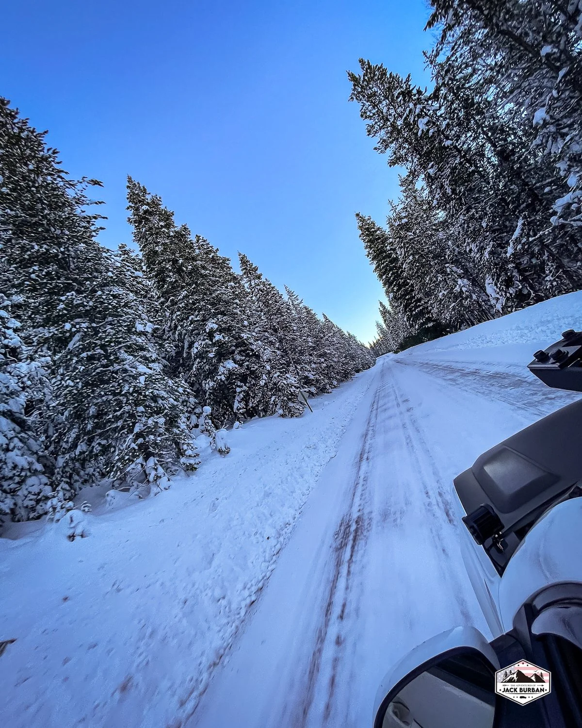
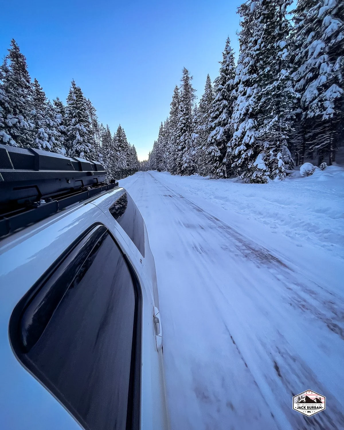
Such winter beauty in the old growth fir forest of the Fremont-Winema National Forest along Clover Creek Road in Klamath County, Oregon.
Crystal and I kicked off the new year with some cabin fever - from having been stuck at base camp for far too long. We decided to go out for lunch in Keno, Ore., and take a trip around the Southern Cascades.
There are only a couple of places to enjoy lunch in Keno. One is the Whoa Tavern and the other is the Keno Store. In our opinion, it’s an easy decision on which one to stop at. For us, it’s the Keno Store with their world-famous jojo's potatoes.
After our mid-afternoon extremely unhealthy lunch, we found ourselves with a few hours of daylight left.
We began on one of our favorite loops in Klamath County that we call the Southern Cascade Loop. It’s one of my personal all-time favorite locations on the planet. From what I know, there is not an official name for this drive, but essentially we drove a 75-mile loop around the Mountain Lakes Wilderness in the Southern Oregon Cascades.
There was a good bit of snow up there in the mountains. At the highest point (5374'), I would estimate about 4-5 feet, maybe more.
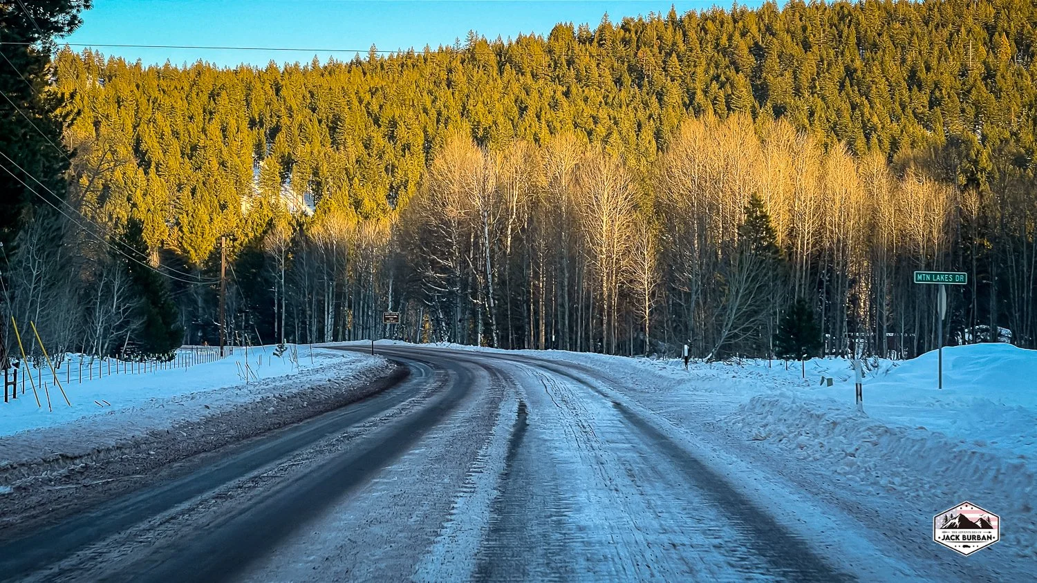
About halfway through the loop, we stopped at the Lake of the Woods Resort to check on lake conditions. Although, we did not stay long. Blustery winds were whipping over the lake and through the resort. We could tell that the lake is establishing a nice layer of ice and snow, but it did not appear ready for ice fishing yet.
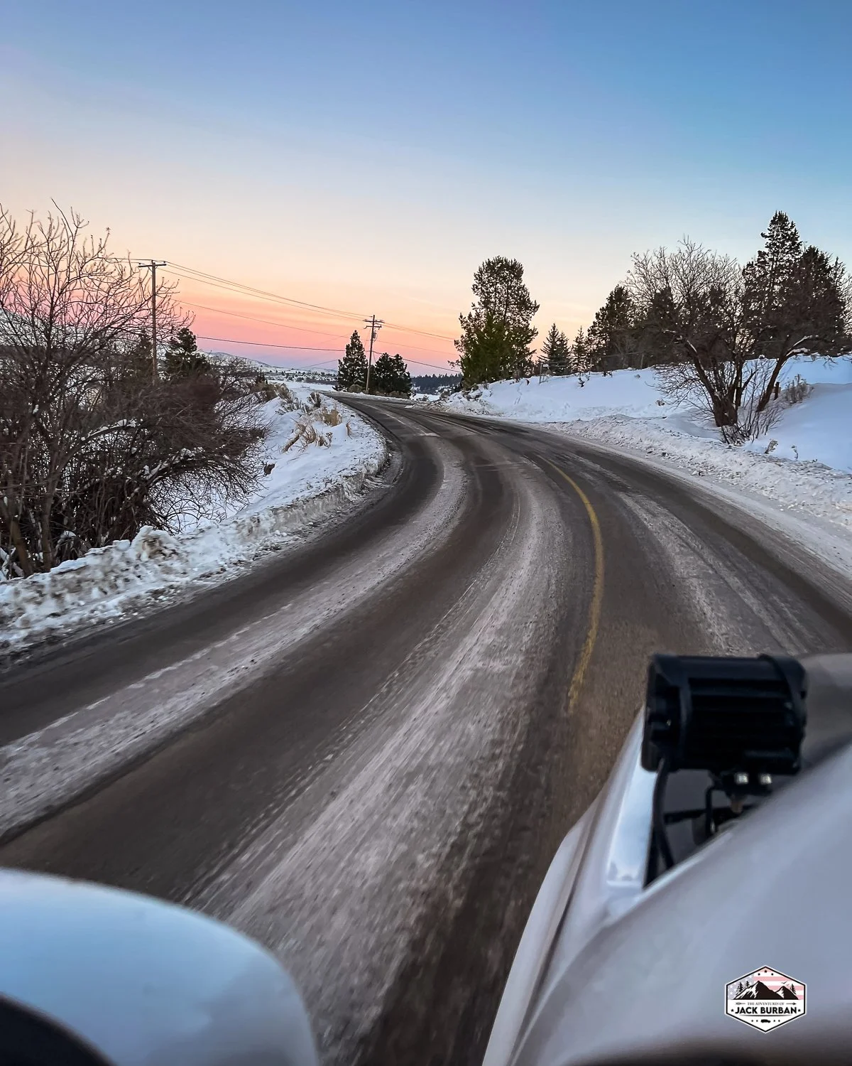
After leaving the resort, we meandered along on ORE140 back to basecamp.
The trip was enjoyable and fun. It is always good to get out and explore a little on a Sunday afternoon. More snow is expected this week, likely keeping us grounded at base camp.
We are already planning the next adventure.
Where would you like to see us go next?
Additional Material
Additional material such as our Relive videos and Gaia GPS tracks are available to our Patreon Family.
For as little as $1/month you can help us tell the stories of our overlanding adventures and as a thank you, you receive special bonus content with extra videos and our GPS tracks.
Photography


Windigo Pass, Oregon
Located on the northern border of Douglas County and Klamath County in Oregon is a beautiful mountain pass that connects the Cascade Lakes of Lemolo and Crescent. Both lakes are beautiful, serene, and peaceful. The dirt road that connects the two is magnificent in its own right.
Located on the northern border of Douglas County and Klamath County in Oregon is a beautiful mountain pass that connects the Cascade Lakes of Lemolo and Crescent. Both lakes are beautiful, serene, and peaceful. The dirt road that connects the two is magnificent in its own right.
The highest point recorded by Gaia GPS on our travel over the pass was 5,786 feet. We recorded 31.6 miles of track and took us 95 minutes to traverse the moderately easy road.
The road is surrounded by beautiful pine and fir forest. With several hiking trails including the Pacific Crest Trail crisscrossing the roadway.
There was even a beautiful hidden gem of a clear pristine pond on the north side of the road at Bradley Creek. A perfect location for a boondocking campsite for a campervan or truck.
Road Conditions
We traveled across the pass in early October with no recent moisture or snow. Most of the entire roadway was in great condition. Leaving the area near Lomolo Lake to the summit was excellently maintained gravel Forest Service road. The next few miles coming down from the summit the gravel turned to dirt and some minor ruts appeared in the road. Suggesting that the road may be muddy and slippery in wet conditions.
The last few miles before connecting to Crescent Lake Road were extremely dusty. The groomed gravel roadway was long gone and turned into a dusty powdery mess. Once on Crescent Lake Road, we were back to pavement.
With experience, this route could be traversed by passenger cars in addition to pickups and SUVs alike. Please use caution on this route if you have an RV or are towing as some of the corners are sharp and on the north side of the summit the ruts are a bit deep. Also, use caution if you are traveling this route when conditions are wet or snowy as this can drastically change the road surface.
Please note that Gaia GPS shows this roadway as Cascade Lakes Highway - it is not a highway but a gravel and dirt Forest Service roadway (NF-60).


My Thoughts
In the summer, Windigo Pass is a great and easy softroading trek. If the conditions are wet, I can imagine this route being a bit challenging for a noob. Experienced overlanders will have no trouble with this mountain pass. If you love lush forests you will love this route. Although we did not see any critters on this trip, I would expect the mountains to be full of deer and elk, smaller game, and even a few predators like black bears, cougar, and a traveling wolf pack.
I would recommend this trail to all softroading and overlanding skill levels.
LIKE / FOLLOW / SUB

STICKER MERCH
JACKS BUILD
Curious as to what gear we have in Jack? Check out our rig details page.